Britain's Seabed Secrets: The Marine Mapping Gap Threatening Our Energy Future
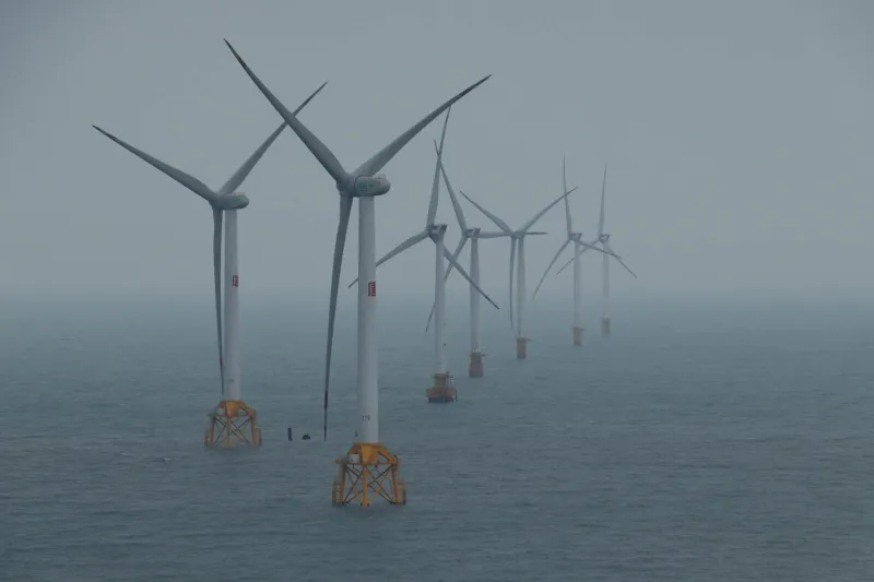
The UK's offshore wind revolution depends on detailed knowledge of the seabed, yet vast areas of British territorial waters remain unmapped to modern standards. This marine data deficit is already inflating project costs and threatening the nation's renewable energy ambitions.